Using condition data.
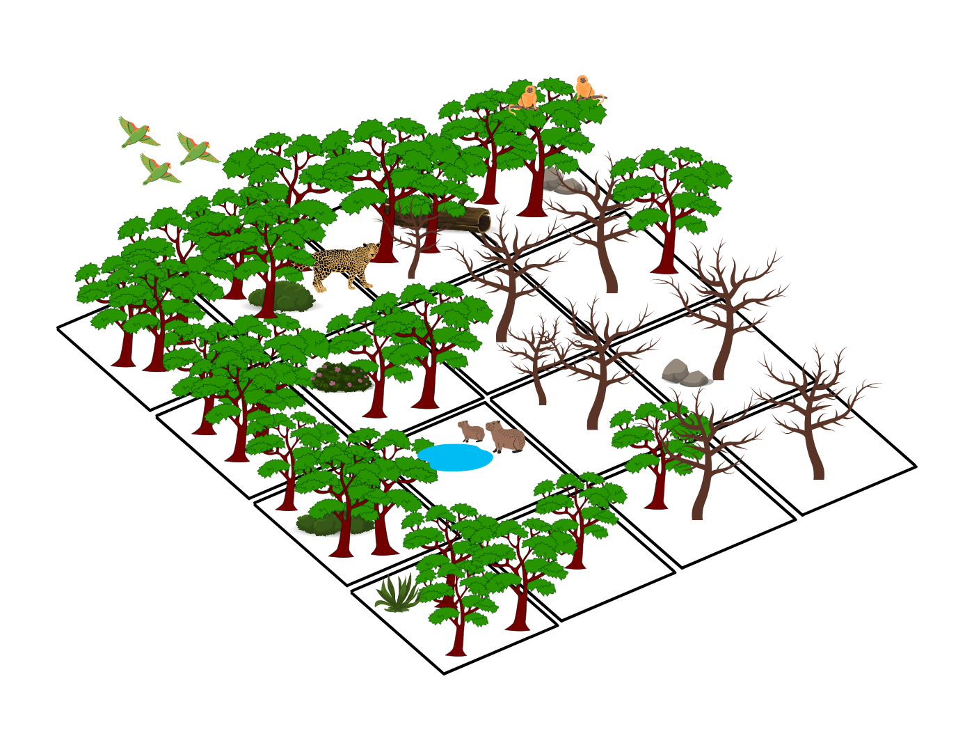
In spatial conservation planning ecosystem condition plays an increasingly important role for identifying priorities for conservation action. Earth's ecosystems are not only either intact or damaged - many are somewhere in between. Their condition can influence how, when, and where actions are carried out. How you use condition in a spatial conservation plan depends on your planning goals and objectives. Here are a few common ways in which condition is used in spatial conservation planning.
1. RETAINING INTACT ECOSYSTEMS
Intact areas are often considered higher priorities for protection than degraded areas because they can maintain higher levels biodiversity, can better mitigate climate change through higher rates of carbon sequestration, can better regulate local climate regimes, can provide watershed services, and can benefit human health.
In the example to the right, a planner may choose to lock out planning units with high levels of degradation, as the cost of implementing a conservation action here is higher than the benefit.


2. LOCKING OUT INTACT ECOSYSTEMS
From another perspective, intact areas may be less threatened and therefore may not require conservation action, or your objective may be to identify priority areas for restoration. The important question of "what are you trying to achieve" must be carefully considered when using condition in a spatial plan.
In the example to the left, a planner may choose to lock out planning units that remain intact, as the objective may be to identify priority areas that are threatened, or to identify areas for restoration.
3. AS A RELATIVE MULTIPLIER
Another way in which condition can be applied to a conservation spatial plan is as a relative multiplier, which can change the value that a planning unit has towards meeting the overall planning objective.
In the example to the right, the relative intactness of each planning unit is converted to a number between 0-1 (based on the integrity or condition metric that is being used).


4. AS A FEATURE
In the below example, we might say any area above a threshold of 0.75 is included in the Marxan analysis as a feature.


5. STRATIFICATION
Lets look at our condition layer again.


GLOABL DATASETS FREQUENTLY USED TO REPRESENT CONDITION.
Beyer, H.L., Venter, O., Grantham, H.S. and Watson, J.E.M. "Substantial losses in ecoregion intactness highlight urgency of globally coordinated action." Conservation Letters 13.2 (2020): e12692. https://doi.org/10.1111/conl.12692
Grantham, H. S., et al. "Anthropogenic modification of forests means only 40% of remaining forests have high ecosystem integrity." Nature communications 11.1 (2020): 1-10. https://doi.org/10.1038/s41467-020-19493-3
Halpern, B. S., Frazier, M., Afflerbach, J., Lowndes, J. S., Micheli, F., O’Hara, C., ... & Selkoe, K. A. (2019). Recent pace of change in human impact on the world’s ocean. Scientific reports, 9(1), 1-8. https://doi.org/10.1038/s41598-019-47201-9
Kennedy, Christina M., et al. "Managing the middle: A shift in conservation priorities based on the global human modification gradient." Global Change Biology 25.3 (2019): 811-826. https://doi.org/10.1111/gcb.14549
Williams, B.A., et al. "Change in terrestrial human footprint drives continued loss of intact ecosystems." One Earth 3.3 (2020): 371-382. https://doi.org/10.1016/j.oneear.2020.08.009
Mokany, Karel, et al. "Reconciling global priorities for conserving biodiversity habitat." Proceedings of the National Academy of Sciences 117.18 (2020): 9906-9911. https://doi.org/10.1073/pnas.1918373117
