Marxan MaPP
The Marxan Planning Platform (MaPP)
To realize a sustainable future, we need inclusive and revolutionary solutions to the world’s most pressing conservation challenges.
Democratizing spatial planning for the future of conservation
Marxan, a world leading conservation planning tool, can help fundamentally change how decision-makers use technology for conservation. Our goal is to ensure that anyone, anywhere, can collaborate and implement actionable spatial plans to support biodiversity conservation, economic growth and climate adaptation and mitigation for the next decade of conservation planning. Marxan is a decision-support tool that helps structure, design and evaluate spatial planning projects for land, freshwater, and ocean. Marxan helps decision-making by balancing objectives such as protecting biodiversity and its benefits, with socio-economic, cultural and political realities. As the analytic engine behind major planning projects, such as the Great Barrier Reef’s Rezoning Plan and Mongolia’s National Protected Area portfolio, Marxan has been used over 180 countries and leads the world in providing robust, flexible and systematic decision-support to governments, academics and planners globally.
Types of planning problems that Marxan can support:
Designing mulit-functional lands and seas
Conservation of biodiversity and ecosystem services

Development by Design for energy and infrastructure
Freshwater connectivity for rivers, lakes and watersheds

Natural climate solutions
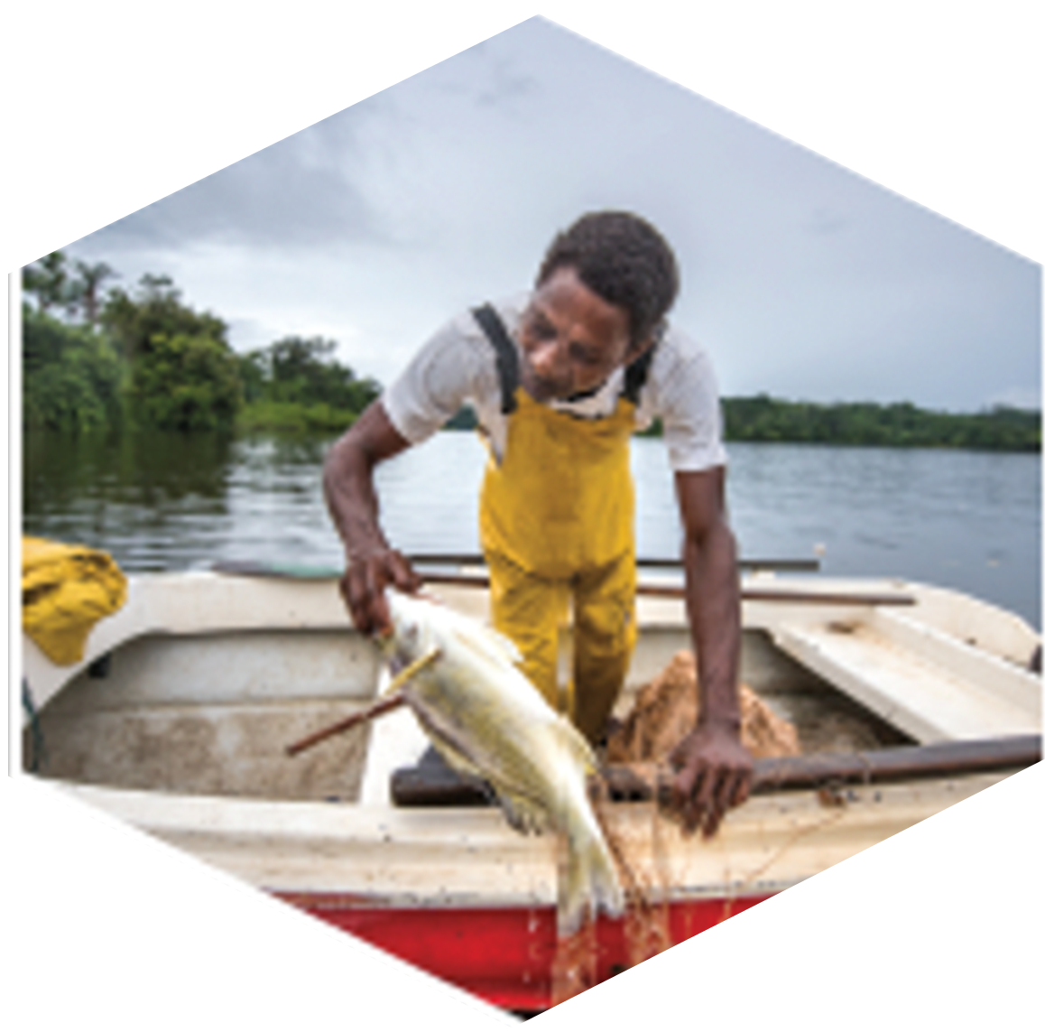
Enhancing sustainable livelihoods
Bringing Marxan to the cloud
In 2018, the global demand for Marxan to help make smart decisions for climate, biodiversity, and sustainable development goals had outpaced the Marxan community of practice’s ability to provide expert support and training. The vision of “Democratizing Marxan” began. Through the Biodiversity and Protected Areas Management programme (BIOPAMA), funded by the European Union, the Joint Research Centre worked closely with The Nature Conservancy to prototype a web-based Marxan platform that improves accessibility to non-experts and supports our common vision of providing accessible tools for evidence-based conservation planning. In 2020, we partnered with Microsoft to bring our platform to the cloud, scaling Marxan’s infrastructure for global accessibility and empowering users with the tools and data they need to make smarter decisions for the planet. Marxan on Azure will remain free and open and will be a key application featured on Microsoft’s Planetary Computer. With an advisory committee comprised of world leaders in conservation planning theory and practice, a global community and data partners dedicated to delivering conservation outcomes, vision and expertise from technology pioneers at Microsoft, and state of the art design and development from Vizzuality, we are well positioned to help combat the global biodiversity and climate crisis.
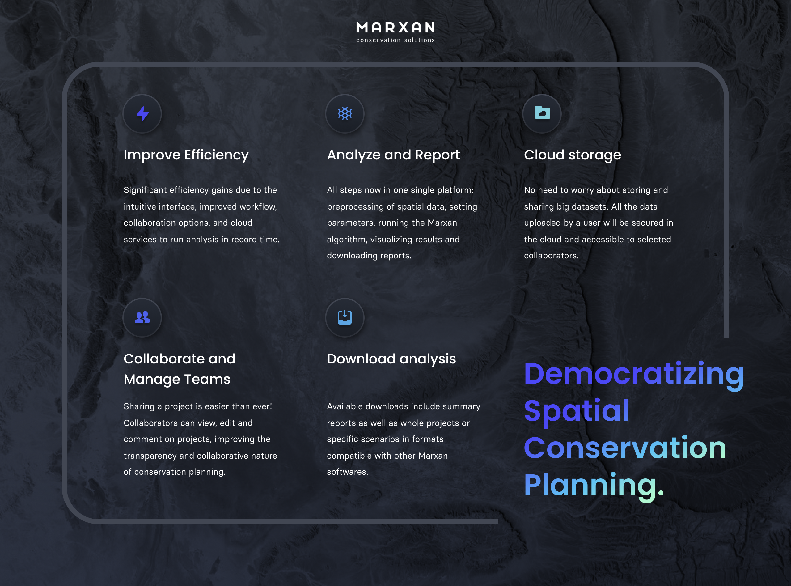
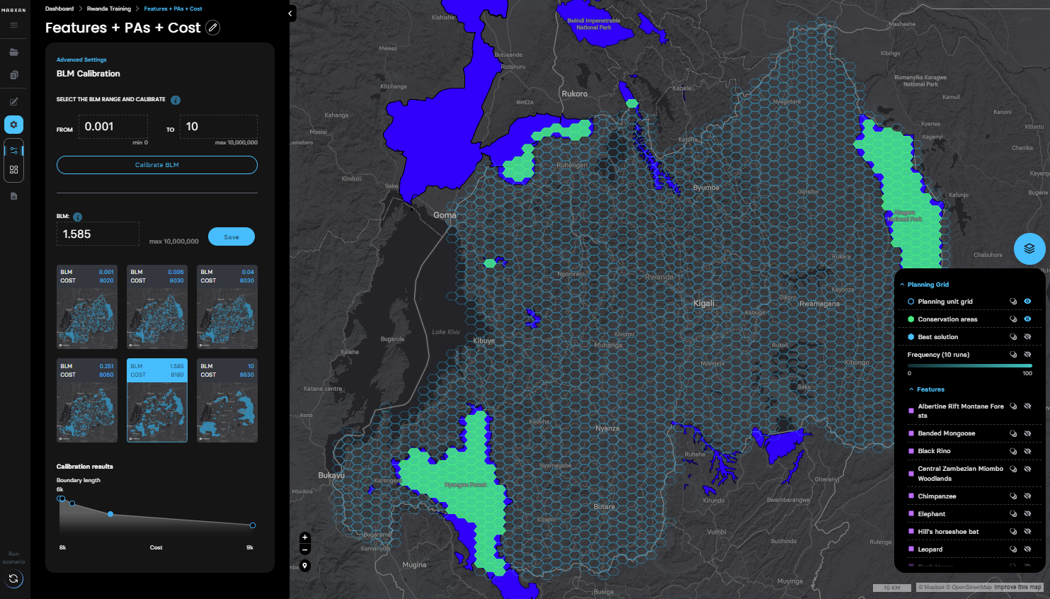
Faster planning, better solutions: This platform will hosts the Marxan software suite which includes Marxan, Marxan with Zones, and Marxan with Connectivity on a stable Azure cloud environment. You can use this platform to:
- Design and evaluate new Marxan conservation and zoning plans
- Integrate and host existing Marxan projects
- Collaborate with project teams and stakeholders
- Compare and map scenarios across projects
- Access and store key spatial data sets
- Conduct Gap Analyses
- Schedule portfolio investments
- Understand trade-offs between objectives
- Download reports with process and data provenance
A community focused on outcomes:
- Free and open: we remain committed to free and open data and technology https://github.com/Marxan-source-code
- Collaborative: we partner with groups who share our commitment to advance biodiversity and sustainability through conservation technology
- Inclusive: we are dedicated to developing technical capacity and expertise in Marxan around the world
- Community-led: Marxan supports a global community of over 6000 users in 180 countries who help us advance our software and tools, train and support new users, and integrate Marxan into planning processes that deliver outcomes on the ground
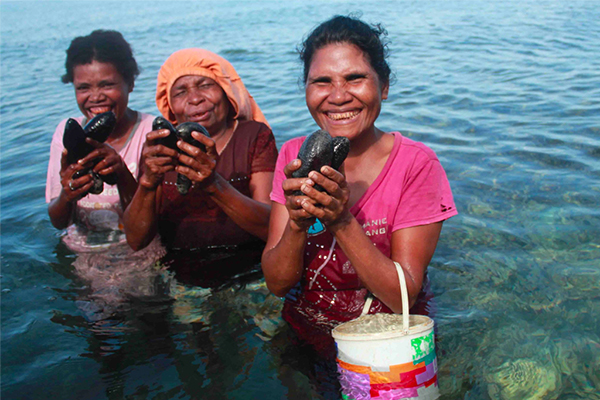
Planning for Protected Areas and Fisheries of Indonesia
“The Nature Conservancy Indonesia program has used Marxan since 2012 to design the zoning plans for the Savu Sea Marine National Park—the largest Marine Protected Area (MPA) in the Coral Triangle, Lesser Sunda MPA Network, and Fisheries Management Area 715 MPA Network west of Papua, and is currently planning the Arafura Timor Sea MPA Network. Our MPA Network Design is helping the Indonesia Government identify high priority areas for establishing MPAs in 45% across Indonesia’s waters (3 Million km2) to contribute towards achieving Indonesia’s national goal of establishing 300,000 km2 of MPAs by 2030.”
-Yusuf Fajariyanto, Conservation & Marine Planning Coordinator The Nature Conservancy, Indonesia Program
Photo: Women of Kapatchol Village, West Misool, Raja Ampat by Nugroho Arif Prabowo, TNC Indonesia Oceans Program

Informing Energy and Conservation in Angola’s Cubango-Okavango River Basin
“Working with an emerging coalition of partners (national and regional government, private, academic institutions, other large international NGOs and communities), we are using Marxan to collectively shape a more sustainable future in the Upper Okavango Basin— a future that should balance needed economic development with the desire to protecting a vibrant wild landscape home to globally unique biodiversity of this irreplaceable region of the world. Marxan is helping us structure our consultations and stakeholder feedback as well as providing our baseline scenarios for exploring optimal land-use and protection across 378,000 km2 to ultimately inform both community-based management and a vast protected area network."
- Anne Trainor, Africa Energy Strategy Director The Nature Conservancy Africa Program
Photo: Angola’s Cubango-Okavango River Basin, creative commons license.
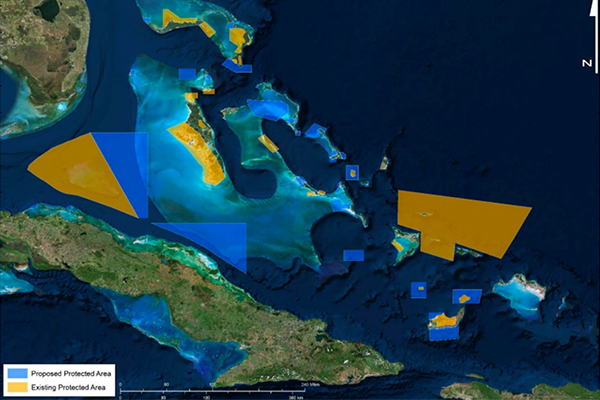
Supporting the Caribbean Challenge Initiative for 20% protection by 2020
Eleven countries pledged to expand marine protection through the Caribbean Challenge Initiative and, as a result, over 11 million acres of marine space has been declared. Marxan has been the engine at the heart of these decisions, the principal tool that has guided the prioritization and selection of the most important areas to protect.”
-Steve Schill, Lead Scientist The Nature Conservancy Caribbean Program
Photo: Bahamas proposed zoning plan. Bahamas National Trust
Brought to you by

In partnership with


With additional support from


Supported by an initiative of the

