

Locking planning units in or out.
Locking planning units in or out. Manually including or excluding individual planning units is useful where a real-world issue affects where new protected areas or conservation actions can be designated. For example, if you know that a particular group of planning...
Scheduling.
Scheduling. It is rarely possible that priority areas for conservation action identified through systematic conservation planning can realistically be implemented in a single time step. This may be due to socio-economic or financial implementation constraints....
Scenario Development.
Scenario Development. A scenario is an account of a plausible future. Scenario planning consists of using a few contrasting scenarios to explore the uncertainty surrounding the future consequences of a decision. Ideally, scenarios should be constructed by a diverse...
Understanding trade-offs and trade-off curves.
Understanding trade-offs and trade-off curves. A trade-off is a decision that involves diminishing or losing one quality, quantity, or property of a set or design in return for gains in other aspects. In other words, a tradeoff is where one thing increases, and...
Using condition data.
Using condition data. In spatial conservation planning ecosystem condition plays an increasingly important role for identifying priorities for conservation action. Earth's ecosystems are not only either intact or damaged - many are somewhere in between. Their...
Understanding connectivity data.
Understanding connectivity data. One of the challenges associated with integrating data of ecological connectivity in spatial planning is the wide variety of entities that move (e.g. organisms, genes, pollutants) and of movement processes (e.g. animal migration,...
What is Marxan with Connectivity?
What is Marxan with Connectivity? The following sections are a summary of Daigle et al. 2019. Marxan with Connectivity is an extension of the Marxan software family that allows for more sophisticated connectivity considerations in spatial planning. For example, sites...
Using connectivity data in Marxan.
Using connectivity data in Marxan. There are several different quantitative methods to directly incorporate connectivity data into the standard Marxan workflow . These include: (a) treating connectivity properties of planning units as conservation features for which a...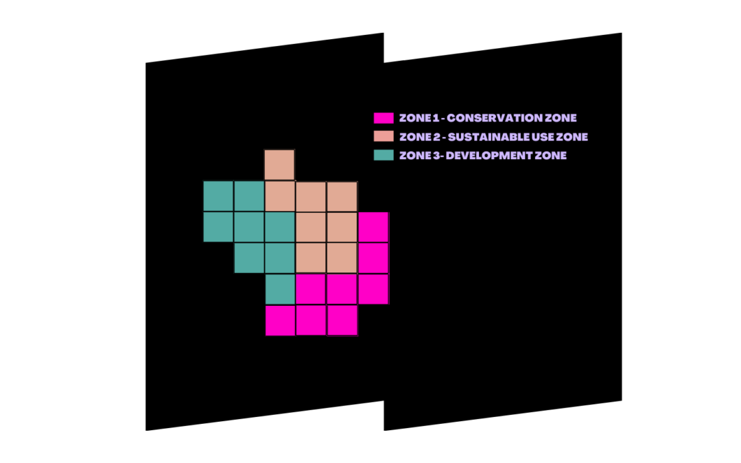
Recent Comments