

What is Marxan with Connectivity?
What is Marxan with Connectivity? The following sections are a summary of Daigle et al. 2019. Marxan with Connectivity is an extension of the Marxan software family that allows for more sophisticated connectivity considerations in spatial planning. For example, sites...
Using connectivity data in Marxan.
Using connectivity data in Marxan. There are several different quantitative methods to directly incorporate connectivity data into the standard Marxan workflow . These include: (a) treating connectivity properties of planning units as conservation features for which a...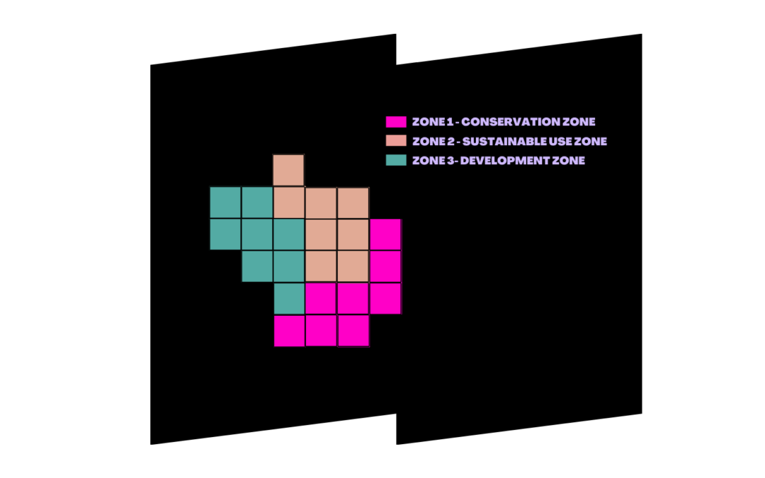
What is Marxan with Zones?
What is Marxan with Zones? Marxan with Zones is based on the same principles standard Marxan, but allows for multiple zones, zoning contributions, costs, and the spatial relationships between zones to all be considered in spatial optimization. This tool can be applied...
Recent Comments